


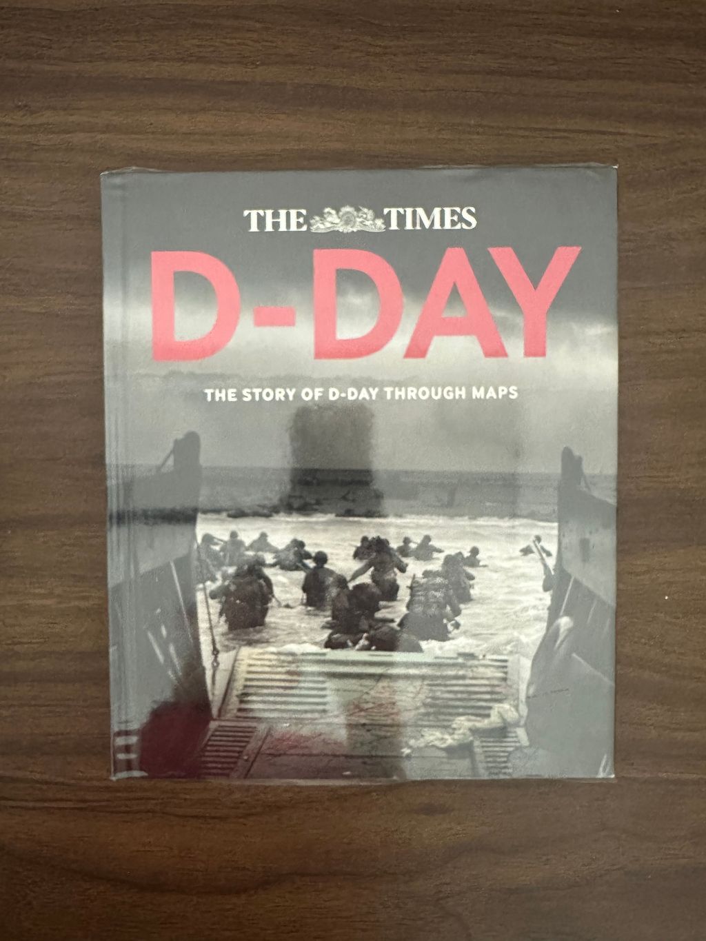
[Used Book] D-Day: The Story of D-Day Through Maps - Richard Happer & Peter Chasseaud [Condition: A]
- Regular price
- RM 65.00
- Sale price
- RM 65.00
- Regular price
-
RM 0.00



Share
Author: Richard Happer & Peter Chasseaud
Translator:
Publisher: HarperCollins Publishers Limited
Publication year: 2014
ISBN: 9780007592838
Upload date:260921
Description:
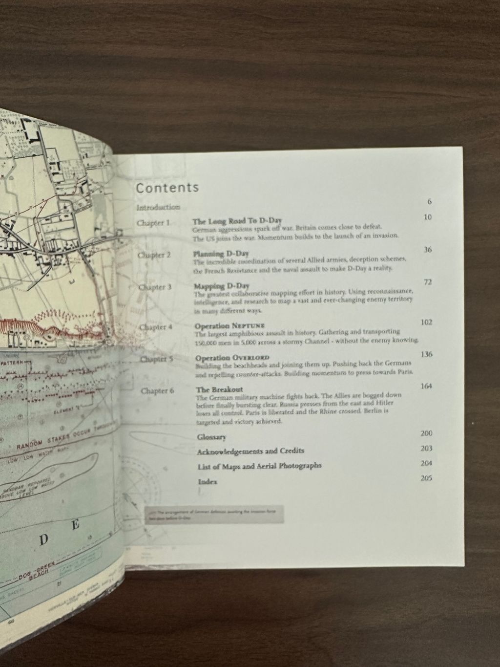
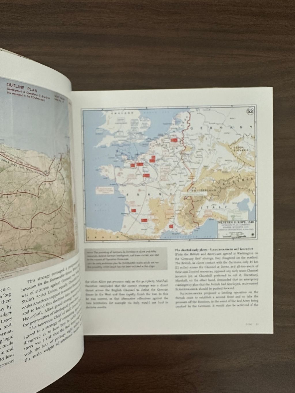
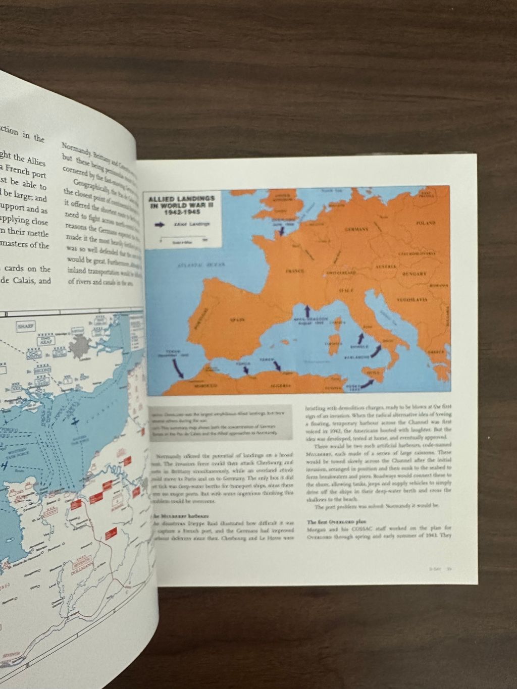
Follow the D-Day landings through a unique collection of historical maps, expert commentary and dramatic photographs. This is a unique insight into the D-Day landings 70 years on. Over 90 maps demonstrate how the D-Day landings unfolded, and are accompanied by detailed descriptions of what happened on that momentous day. The Allied landings in Normandy on 6 June 1944 were the greatest amphibious assault in history, requiring almost two years of meticulous planning and the largest co-ordinated mapping effort the world has ever seen. Key maps include: Top-secret maps of Normandy with overprints showing the beach defences. Plans of the Allied deception schemes. Detailed maps of all five landing beaches, including OMAHA and UTAH. Chart of the armada's route across the English Channel. Maps showing the Allied Forces' movements as they pushed across France towards Berlin and VE Day. This collection of incredible maps uncover the events that led up to D-Day, the planning for the assault and the progress of the liberating forces afterwards. Dramatic photographs help to illustrate the key historical events that took place during Operation Overlord.